


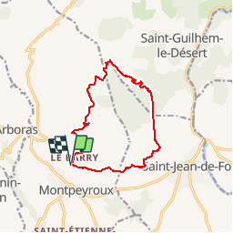


12,1 km | 17,4 km-effort

Gebruiker


Gratisgps-wandelapplicatie
 SityTrail
IGN / Geografische instituten
SityTrail World
De wereld gaat voor u open
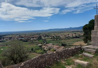
Tocht Stappen van 13,5 km beschikbaar op Occitanië, Hérault, Montpeyroux. Deze tocht wordt voorgesteld door gerardhenr.
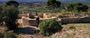
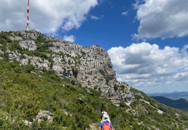
Visite du Castelas puis circuit en balcon par le GR. Maison des légendes des Plos


Stappen

Stappen

Stappen

Stappen

Stappen

Stappen
Stappen
Stappen
Stappen