


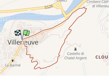


4,8 km | 10,7 km-effort

Gebruiker


Gratisgps-wandelapplicatie
 SityTrail
IGN / Geografische instituten
SityTrail World
De wereld gaat voor u open
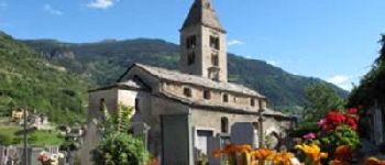
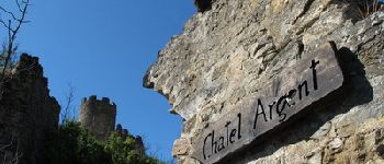
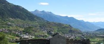
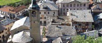
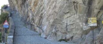
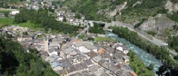
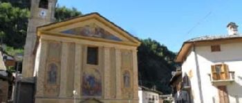
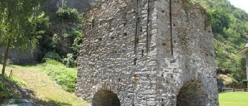
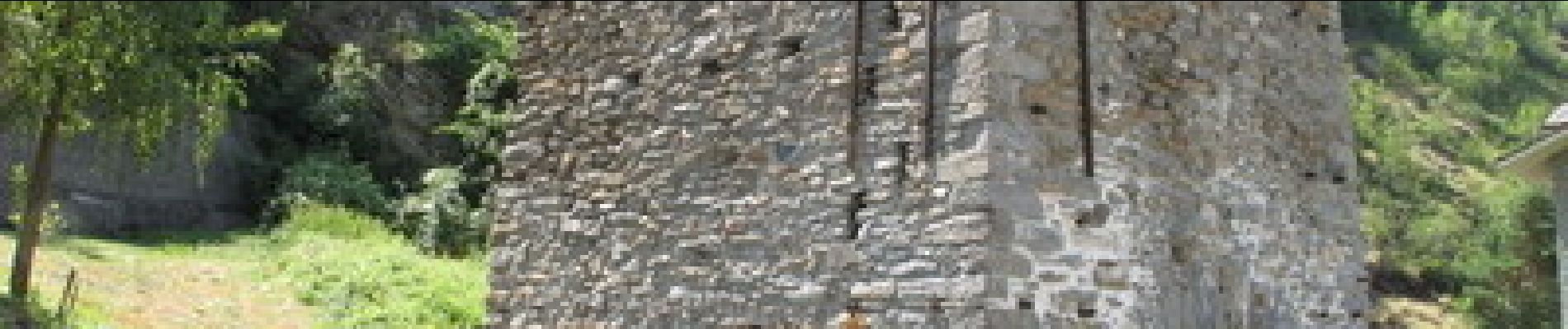
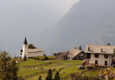
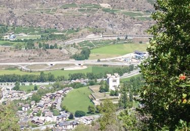
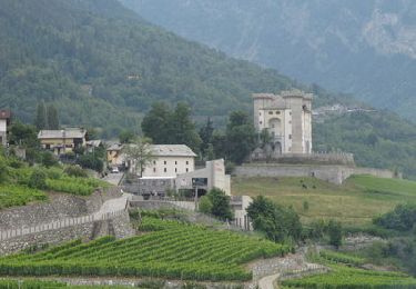
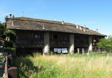
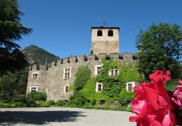
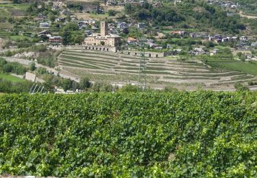
Tocht Stappen van 1,2 km beschikbaar op Valle d'Aosta, Onbekend, Villeneuve. Deze tocht wordt voorgesteld door alberto26.


Te voet
Stappen
Stappen
Stappen
Stappen
Stappen
Mountainbike

Stappen