


Rome-21-Arles-StGabriel-20150908

patrickdanilo
Gebruiker
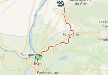

Lengte
18,4 km

Max. hoogte
48 m

Positief hoogteverschil
127 m
Km-Effort
20 km

Min. hoogte
2 m

Negatief hoogteverschil
130 m
Boucle
Neen
Datum van aanmaak :
2018-02-13 00:00:00.0
Laatste wijziging :
2022-11-14 18:29:05.825
4h24
Moeilijkheid : Heel gemakkelijk

Gratisgps-wandelapplicatie
 SityTrail
IGN / Geografische instituten
SityTrail Plus
De wereld gaat voor u open
Over ons
Tocht Stappen van 18,4 km beschikbaar op Provence-Alpes-Côte d'Azur, Bouches-du-Rhône, Arles. Deze tocht wordt voorgesteld door patrickdanilo.
Beschrijving
ALTA-01-N°0209F21-GR653D
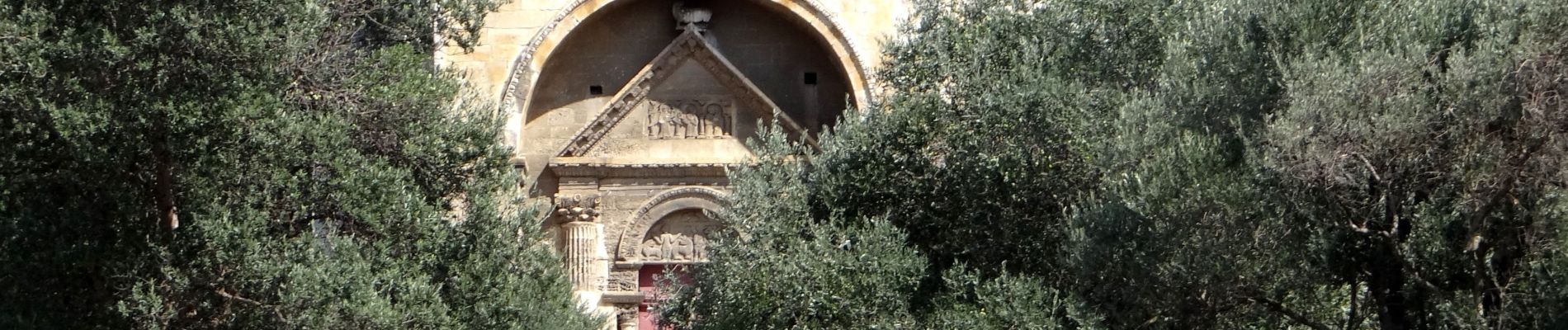
Foto's


Plaatsbepaling
Land:
France
Regio :
Provence-Alpes-Côte d'Azur
Departement/Provincie :
Bouches-du-Rhône
Gemeente :
Arles
Locatie:
Unknown
Vertrek:(Dec)
Vertrek:(UTM)
630926 ; 4837334 (31T) N.
Opmerkingen