


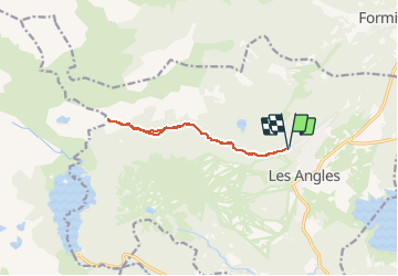
Les Angles Refuge de la Balmetta

jpipacific
Gebruiker

Lengte
11,2 km

Max. hoogte
2124 m

Positief hoogteverschil
333 m
Km-Effort
15,6 km

Min. hoogte
1837 m

Negatief hoogteverschil
333 m
Boucle
Ja
Datum van aanmaak :
2016-01-06 00:00:00.0
Laatste wijziging :
2016-01-06 00:00:00.0
4h01
Moeilijkheid : Medium

Gratisgps-wandelapplicatie
 SityTrail
IGN / Geografische instituten
SityTrail Plus
De wereld gaat voor u open
Over ons
Tocht Sneeuwschoenen van 11,2 km beschikbaar op Occitanië, Pyrénées-Orientales, Les Angles. Deze tocht wordt voorgesteld door jpipacific.
Beschrijving
Tres belle rando avec paysages magnifiques à l'arrivée
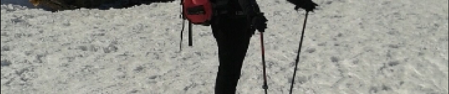
Foto's


Plaatsbepaling
Land:
France
Regio :
Occitanië
Departement/Provincie :
Pyrénées-Orientales
Gemeente :
Les Angles
Locatie:
Unknown
Vertrek:(Dec)
Vertrek:(UTM)
423512 ; 4715015 (31T) N.
Opmerkingen