Tocht Stappen Wellin - Balade de Wellin à Froidlieu - Photo

Balade de Wellin à Froidlieu

 Desrumaux
Desrumaux

Gebruiker GUIDE

© OpenStreetMap contributors
Lengte
Lengte
8,8 km
Max. hoogte
Max. hoogte
308 m
Positief hoogteverschil
160 m
Km-Effort
Km-Effort  
10,9 km
Min. hoogte
Min. hoogte
224 m
Negatief hoogteverschil
162 m
Boucle
Boucle
Ja
Datum van aanmaak :
2016-04-07 00:00:00.0
Laatste wijziging :
2016-04-07 00:00:00.0

(3 Bericht)

Stappen
Stappen
2h20
Moeilijkheid : Gemakkelijk

Scan deze QR-code om de tocht te openen in de SityTrail-applicatie

Gratisgps-wandelapplicatie

Logo SityTrail SityTrail

IGN / Geografische instituten

SityTrail uit de App Store downloaden SityTrail uit Google Play downloaden

Logo SityTrail SityTrail World

De wereld gaat voor u open

SityTrail uit de App Store downloaden SityTrail uit Google Play downloaden SityTrail op Huawei AppGallery downloaden

Over ons

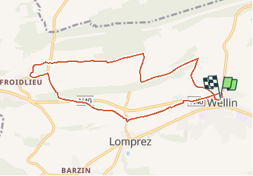
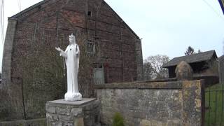
Tocht Stappen van 8,8 km beschikbaar op Wallonië, Luxemburg, Wellin. Deze tocht wordt voorgesteld door Desrumaux.

Beschrijving

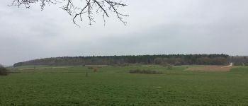
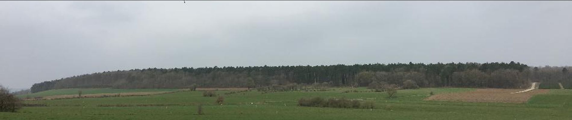
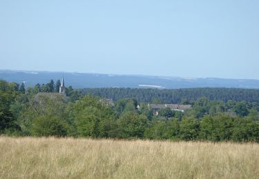
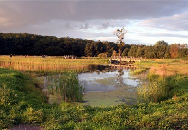
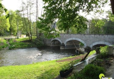
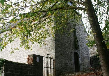
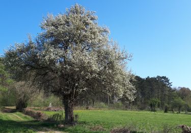
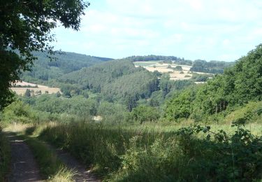
Le Pays de Wellin vous accueille avec plus de 120 km de sentiers balisés, partez à la découverte des villages, des campagnes, des bois, des rivières et des magnifiques paysages au cœur d’une authentique nature.
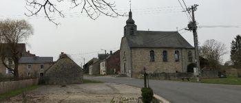
Départ : Eglise de Wellin ou église de Froidlieu
Balisage : rectangle rouge

Hoogteprofiel

Foto's

POI's

POI Wellin - Froidlieu - Photo
Desrumaux
WELLIN 
POI Wellin - Wellin - Photo
Desrumaux
WELLIN 
POI Wellin -  Wellin - Photo
Desrumaux
WELLIN 
POI Wellin - Froidlieu - Photo
Desrumaux
WELLIN 
POI Wellin - Wellin - Photo
Desrumaux
WELLIN 

Plaatsbepaling

Land:
Belgium
Regio :
Wallonië
Departement/Provincie :
Luxemburg
Gemeente :
Wellin
Locatie:
Wellin
Vertrek:(Dec)
Vertrek:(UTM)
651248 ; 5549983 (31U) N.

Opmerkingen

Gelieve in te loggen om een commentaar of een beoordeling achter te laten


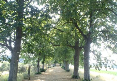
Très chouette. pas de circulation et beau paysage


Wandeltochten in de omgeving

Tocht Stappen Wellin - RB-Lu-25_Wellin - Photo
Stappen
PRO

Stappen

Heel gemakkelijk
(5)
Wellin, Wallonië, Luxemburg, Belgium
26 km | 33 km-effort
6h 46min
Ja
Tocht Stappen Rochefort - Erfgoed - Ontdekkingscircuit Lavaux-Sainte-Anne - Photo
Stappen
PRO

Stappen

Gemakkelijk
(9)
Rochefort, Wallonië, Namen, Belgium
5 km | 5,6 km-effort
1h 30min
Ja
Tocht Stappen Wellin - Wéry_Variante (WE 06) - Photo
Stappen
GUIDE+

Stappen

Moeilijk
(5)
Wellin, Wallonië, Luxemburg, Belgium
11,4 km | 15,5 km-effort
3h 30min
Ja
Tocht Stappen Tellin - Balade à Resteigne - Photo
Stappen
GUIDE
Desrumaux

Stappen

Gemakkelijk
(1)
Tellin, Wallonië, Luxemburg, Belgium
12,6 km | 16,2 km-effort
3h 32min
Ja
Tocht Stappen Wellin - RB-Lu-25_Wellin_via-racc-1-et-var - Photo
Stappen
PRO

Stappen

Zeer moeilijk
(1)
Wellin, Wallonië, Luxemburg, Belgium
25 km | 33 km-effort
7h 23min
Ja
Tocht Stappen Tellin - Resteigne - Promenade du Gué du Ry de Glaumont - Photo
Stappen
GUIDE+

Stappen

Medium
(2)
Tellin, Wallonië, Luxemburg, Belgium
8,2 km | 12,1 km-effort
2h 31min
Ja
Tocht Stappen Beauraing - Revogne - Wandeling - Roadbook Famenne-Ardennen - Photo
Stappen
PRO

Stappen

Gemakkelijk
(3)
Beauraing, Wallonië, Namen, Belgium
4,3 km | 5,2 km-effort
1h 20min
Ja
Tocht Te voet Wellin - Wellin, A la découverte de la Calestienne - Photo
Te voet
GUIDE
grande_foret_sthubert

Te voet

Heel gemakkelijk
(3)
Wellin, Wallonië, Luxemburg, Belgium
7,6 km | 9,5 km-effort
Onbekend
Ja
Tocht Stappen Wellin - RB-Lu-25_Wellin_via-racc-2 - Photo
Stappen
PRO

Stappen

Zeer moeilijk
(1)
Wellin, Wallonië, Luxemburg, Belgium
19,5 km | 26 km-effort
5h 48min
Ja


Sluiten
Mijn abonnementen