


Le Crotoy

roclem421
Gebruiker
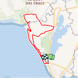

Lengte
14,4 km

Max. hoogte
14 m

Positief hoogteverschil
55 m
Km-Effort
15,1 km

Min. hoogte
2 m

Negatief hoogteverschil
52 m
Boucle
Ja
Datum van aanmaak :
2017-04-04 00:00:00.0
Laatste wijziging :
2017-04-04 00:00:00.0
3h01
Moeilijkheid : Onbekend

Gratisgps-wandelapplicatie
 SityTrail
IGN / Geografische instituten
SityTrail Plus
De wereld gaat voor u open
Over ons
Tocht Stappen van 14,4 km beschikbaar op Hauts-de-France, Somme, Le Crotoy. Deze tocht wordt voorgesteld door roclem421.
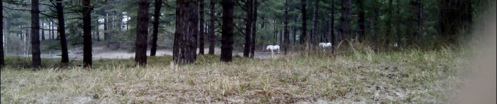
Foto's


Plaatsbepaling
Land:
France
Regio :
Hauts-de-France
Departement/Provincie :
Somme
Gemeente :
Le Crotoy
Locatie:
Unknown
Vertrek:(Dec)
Vertrek:(UTM)
401157 ; 5564845 (31U) N.
Opmerkingen