


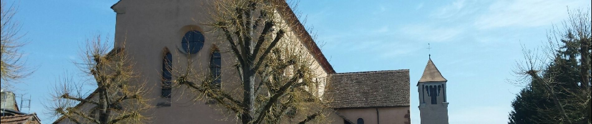
Le circuit des pêcheurs

VacheKiri67
Gebruiker


2h50
Moeilijkheid : Gemakkelijk

Gratisgps-wandelapplicatie
 SityTrail
IGN / Geografische instituten
SityTrail Plus
De wereld gaat voor u open
Over ons
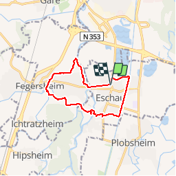
Tocht Stappen van 10,9 km beschikbaar op Grand Est, Bas-Rhin, Eschau. Deze tocht wordt voorgesteld door VacheKiri67.
Beschrijving
Faite le 11/04/2016 avec notre fils de 11 ans, Jennifer, Johan et Sabrina. D'après "Passion Vosges - Autour des abbayes du massif vosgien" N°5 : L'abbatiale Saint-Trophisme d'Eschau par le circuit des pêcheurs. Durée indiquée pour le circuit : 2h40.
Le début de la randonnée n'a pas été enregistré, suivre le balisage anneau jaune.
Foto's


Plaatsbepaling
Opmerkingen
Petit tour facile.