


verticale du diable

mikaelerouzic
Gebruiker
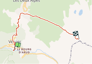

Lengte
7,7 km

Max. hoogte
2775 m

Positief hoogteverschil
1841 m
Km-Effort
26 km

Min. hoogte
930 m

Negatief hoogteverschil
3 m
Boucle
Neen
Datum van aanmaak :
2016-06-07 00:00:00.0
Laatste wijziging :
2016-06-07 00:00:00.0
1h30
Moeilijkheid : Zeer moeilijk

Gratisgps-wandelapplicatie
 SityTrail
IGN / Geografische instituten
SityTrail Plus
De wereld gaat voor u open
Over ons
Tocht Lopen van 7,7 km beschikbaar op Auvergne-Rhône-Alpes, Isère, Les Deux Alpes. Deze tocht wordt voorgesteld door mikaelerouzic.
Beschrijving
double KV
Plaatsbepaling
Land:
France
Regio :
Auvergne-Rhône-Alpes
Departement/Provincie :
Isère
Gemeente :
Les Deux Alpes
Locatie:
Vénosc
Vertrek:(Dec)
Vertrek:(UTM)
272625 ; 4985443 (32T) N.
Opmerkingen