


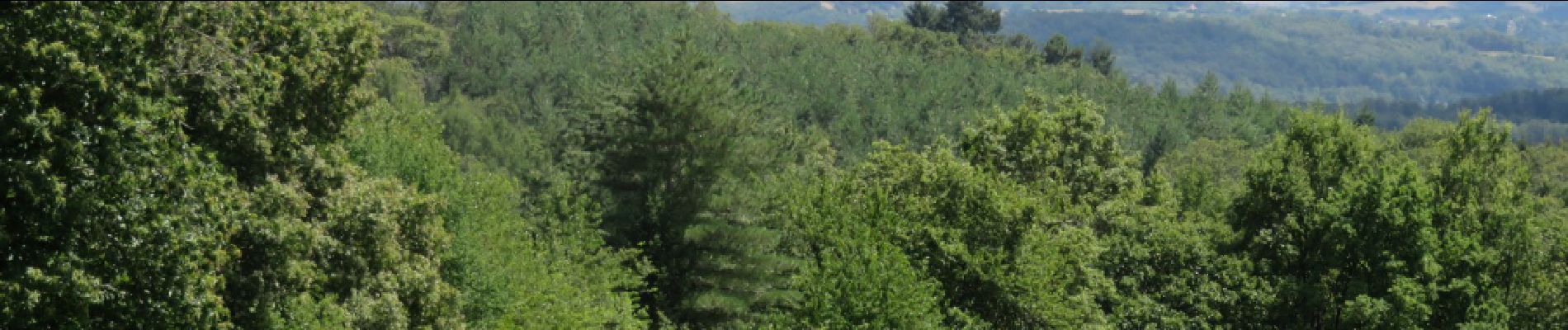
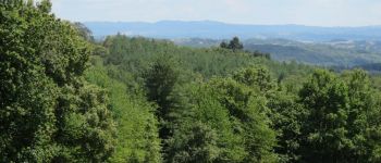
Concèze- Les vignes

houbart
Gebruiker


2h06
Moeilijkheid : Gemakkelijk

Gratisgps-wandelapplicatie
 SityTrail
IGN / Geografische instituten
SityTrail Plus
De wereld gaat voor u open
Over ons
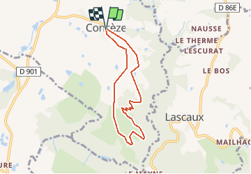
Tocht Stappen van 6,6 km beschikbaar op Nieuw-Aquitanië, Corrèze, Concèze. Deze tocht wordt voorgesteld door houbart.
Beschrijving
Départ place de l'église. Beau point de vue sur la région (St Robert, Ayen...).
Foto's


Plaatsbepaling
Opmerkingen