


Belberaud 7km

pidjam
Gebruiker
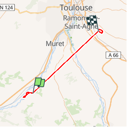

Lengte
61 km

Max. hoogte
327 m

Positief hoogteverschil
1451 m
Km-Effort
80 km

Min. hoogte
147 m

Negatief hoogteverschil
1480 m
Boucle
Neen
Datum van aanmaak :
2016-09-15 00:00:00.0
Laatste wijziging :
2016-09-15 00:00:00.0
5h22
Moeilijkheid : Onbekend

Gratisgps-wandelapplicatie
 SityTrail
IGN / Geografische instituten
SityTrail Plus
De wereld gaat voor u open
Over ons
Tocht Stappen van 61 km beschikbaar op Occitanië, Haute-Garonne, Rieux-Volvestre. Deze tocht wordt voorgesteld door pidjam.
Beschrijving
balade tranquille
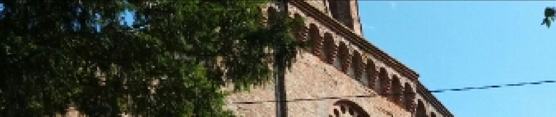
Foto's


Plaatsbepaling
Land:
France
Regio :
Occitanië
Departement/Provincie :
Haute-Garonne
Gemeente :
Rieux-Volvestre
Locatie:
Unknown
Vertrek:(Dec)
Vertrek:(UTM)
354228 ; 4790890 (31T) N.
Opmerkingen