


CHX ZRMT Étape 7 de La Sage à Zinal

jeff2
Gebruiker


Lengte
25 km

Max. hoogte
2905 m

Positief hoogteverschil
1905 m
Km-Effort
50 km

Min. hoogte
1658 m

Negatief hoogteverschil
1897 m
Boucle
Neen
Datum van aanmaak :
2016-09-25 00:00:00.0
Laatste wijziging :
2016-09-25 00:00:00.0
7h57
Moeilijkheid : Medium

Gratisgps-wandelapplicatie
 SityTrail
IGN / Geografische instituten
SityTrail Plus
De wereld gaat voor u open
Over ons
Tocht Stappen van 25 km beschikbaar op Valais/Wallis, Hérens, Evolène. Deze tocht wordt voorgesteld door jeff2.
Beschrijving
Longue et belle balade
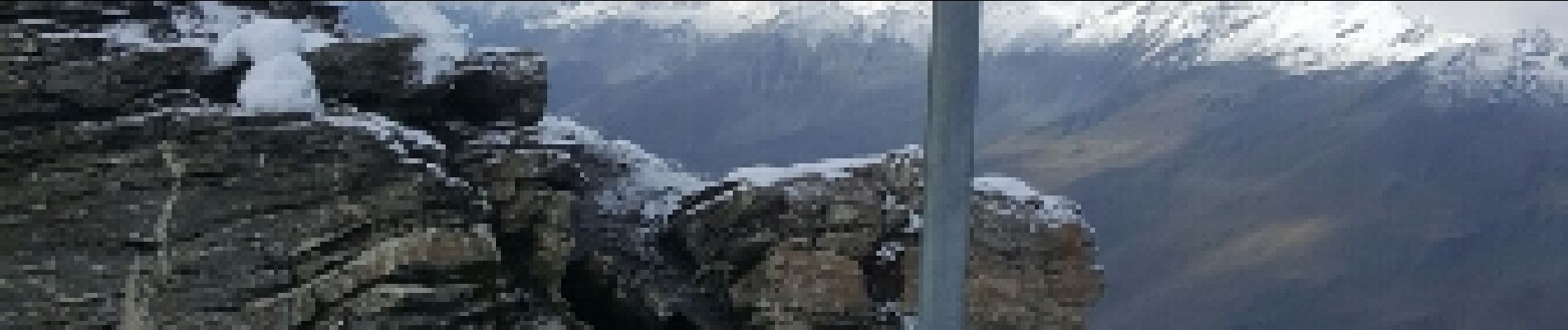
Foto's


24 fotos in totaal. Klik op een foto om ze allemaal in de galerij weer te geven.
Plaatsbepaling
Land:
Switzerland
Regio :
Valais/Wallis
Departement/Provincie :
Hérens
Gemeente :
Evolène
Locatie:
Unknown
Vertrek:(Dec)
Vertrek:(UTM)
385256 ; 5106065 (32T) N.
Opmerkingen