


6 km | 6,1 km-effort

Gebruiker


Gratisgps-wandelapplicatie
 SityTrail
IGN / Geografische instituten
SityTrail World
De wereld gaat voor u open
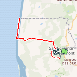
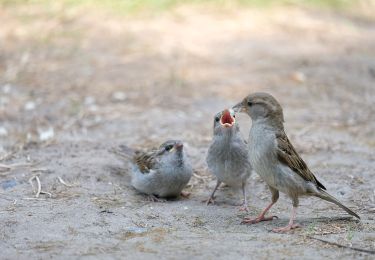
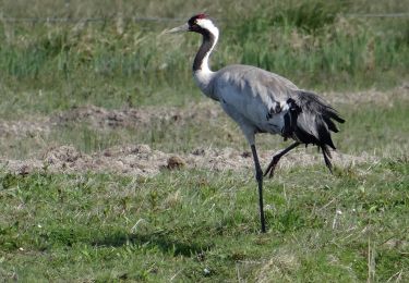
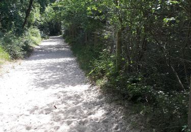
Tocht Stappen van 14,8 km beschikbaar op Hauts-de-France, Somme, Saint-Quentin-en-Tourmont. Deze tocht wordt voorgesteld door PatRando.
2 octobre 2016
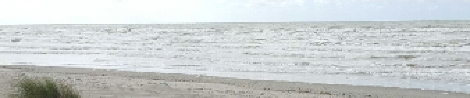
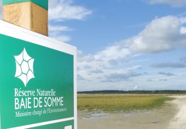
Baie de Somme


Stappen

Stappen

Stappen

Paard

Stappen
Stappen
Te voet
Stappen