


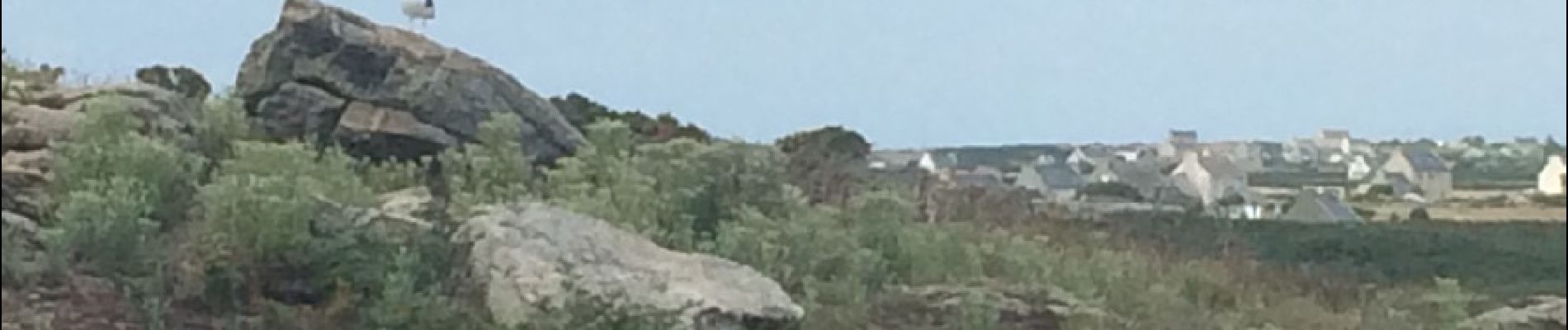
Ouessant

Michel07
Gebruiker
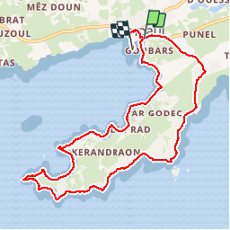

Lengte
11 km

Max. hoogte
33 m

Positief hoogteverschil
119 m
Km-Effort
12,5 km

Min. hoogte
0 m

Negatief hoogteverschil
113 m
Boucle
Neen
Datum van aanmaak :
2016-10-06 00:00:00.0
Laatste wijziging :
2016-10-06 00:00:00.0
3h17
Moeilijkheid : Gemakkelijk

Gratisgps-wandelapplicatie
 SityTrail
IGN / Geografische instituten
SityTrail Plus
De wereld gaat voor u open
Over ons
Tocht Stappen van 11 km beschikbaar op Bretagne, Finistère, Ouessant. Deze tocht wordt voorgesteld door Michel07.
Foto's


Plaatsbepaling
Land:
France
Regio :
Bretagne
Departement/Provincie :
Finistère
Gemeente :
Ouessant
Locatie:
Unknown
Vertrek:(Dec)
Vertrek:(UTM)
345112 ; 5369155 (30U) N.
Opmerkingen