


le chemin des falaises

Lecoester
Gebruiker
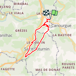

Lengte
12,1 km

Max. hoogte
734 m

Positief hoogteverschil
318 m
Km-Effort
16,4 km

Min. hoogte
536 m

Negatief hoogteverschil
318 m
Boucle
Ja
Datum van aanmaak :
2016-11-04 00:00:00.0
Laatste wijziging :
2016-11-04 00:00:00.0
2h55
Moeilijkheid : Gemakkelijk

Gratisgps-wandelapplicatie
 SityTrail
IGN / Geografische instituten
SityTrail Plus
De wereld gaat voor u open
Over ons
Tocht Andere activiteiten van 12,1 km beschikbaar op Occitanië, Lozère, La Canourgue. Deze tocht wordt voorgesteld door Lecoester.
Beschrijving
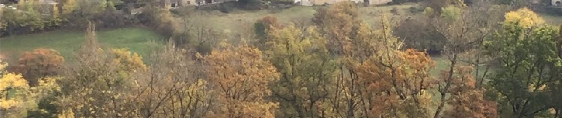
Départ au village de gîtes de la Canourgue. Superbes paysages à découvrir. Le cirque de Saint Saturnin est à voir. Ne pas rater le château.
Foto's

Plaatsbepaling
Land:
France
Regio :
Occitanië
Departement/Provincie :
Lozère
Gemeente :
La Canourgue
Locatie:
La Canourgue
Vertrek:(Dec)
Vertrek:(UTM)
516306 ; 4920370 (31T) N.
Opmerkingen