


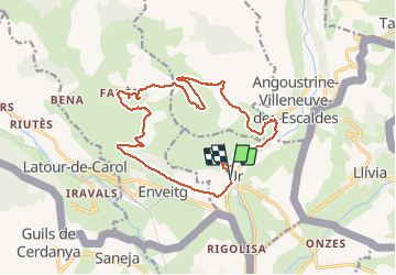

11,8 km | 18,2 km-effort

Gebruiker


Gratisgps-wandelapplicatie
 SityTrail
IGN / Geografische instituten
SityTrail World
De wereld gaat voor u open
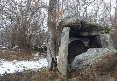
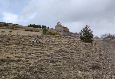
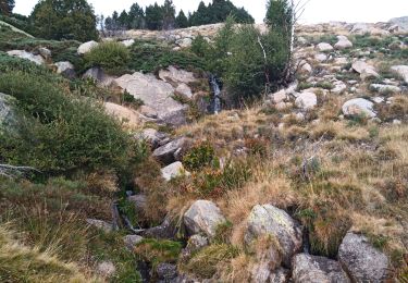
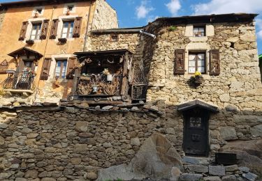
Tocht Stappen van 20 km beschikbaar op Occitanië, Pyrénées-Orientales, Ur. Deze tocht wordt voorgesteld door ThonyM.
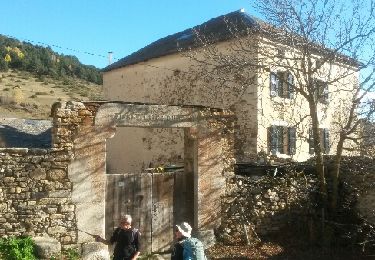
Une belle randonnée pas difficile


Stappen
Stappen
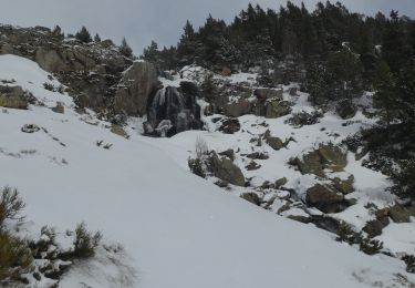
Sneeuwschoenen
Stappen
Stappen
Stappen

Stappen
Stappen
Stappen
Très belle randonnée proposant des paysages variée. Après le 13ème km, cependant, nous n'avons pas réussi à rejoindre, hors sentier, le Riu de Brangoly selon la trace GPX (trop de broussailles) et avons dû reprendre la route. Mais elle est très peu fréquentée et traverse un joli paysage. Bref, aucun regret.