


Mon Compostelle, cinquième étape

Ardeiserois
Gebruiker

Lengte
53 km

Max. hoogte
583 m

Positief hoogteverschil
1498 m
Km-Effort
73 km

Min. hoogte
177 m

Negatief hoogteverschil
1500 m
Boucle
Neen
Datum van aanmaak :
2017-01-11 00:00:00.0
Laatste wijziging :
2017-01-11 00:00:00.0
11h10
Moeilijkheid : Zeer moeilijk

Gratisgps-wandelapplicatie
 SityTrail
IGN / Geografische instituten
SityTrail Plus
De wereld gaat voor u open
Over ons
Tocht Stappen van 53 km beschikbaar op Occitanië, Aveyron, Conques-en-Rouergue. Deze tocht wordt voorgesteld door Ardeiserois.
Beschrijving
Cinquième étape dimanche 27/09/2009 :Conques La Casagnole
Départ Conques 7h35,
Arrivée La Cassagnole 18h45
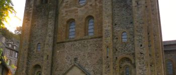
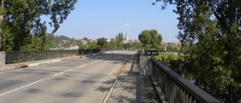
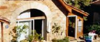
Foto's


Plaatsbepaling
Land:
France
Regio :
Occitanië
Departement/Provincie :
Aveyron
Gemeente :
Conques-en-Rouergue
Locatie:
Unknown
Vertrek:(Dec)
Vertrek:(UTM)
452259 ; 4938607 (31T) N.
Opmerkingen