


Latrape

pidjam
Gebruiker
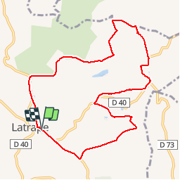

Lengte
10,7 km

Max. hoogte
367 m

Positief hoogteverschil
250 m
Km-Effort
14 km

Min. hoogte
240 m

Negatief hoogteverschil
255 m
Boucle
Ja
Datum van aanmaak :
2017-03-01 00:00:00.0
Laatste wijziging :
2017-03-01 00:00:00.0
2h41
Moeilijkheid : Gemakkelijk

Gratisgps-wandelapplicatie
 SityTrail
IGN / Geografische instituten
SityTrail Plus
De wereld gaat voor u open
Over ons
Tocht Stappen van 10,7 km beschikbaar op Occitanië, Haute-Garonne, Latrape. Deze tocht wordt voorgesteld door pidjam.
Beschrijving
Marche dans la campagne
le chemin suit en partie le parcours éducatif du "balcon des étoiles" (du côté de Marqueflous/le cap del Bosc,etc...vers la fin)
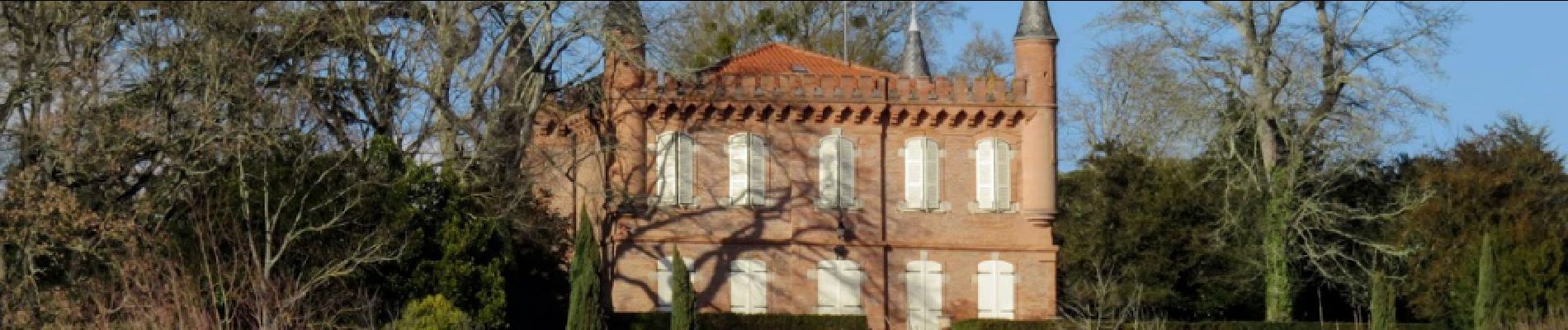
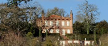
Foto's


Plaatsbepaling
Land:
France
Regio :
Occitanië
Departement/Provincie :
Haute-Garonne
Gemeente :
Latrape
Locatie:
Unknown
Vertrek:(Dec)
Vertrek:(UTM)
361183 ; 4789399 (31T) N.
Opmerkingen