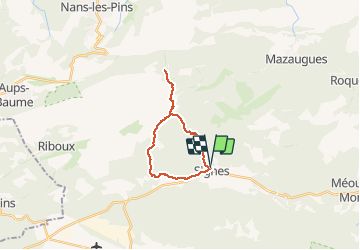
-- Signes - Col des glacières - Le Latay

georgein
Gebruiker

Lengte
18,9 km

Max. hoogte
867 m

Positief hoogteverschil
711 m
Km-Effort
28 km

Min. hoogte
347 m

Negatief hoogteverschil
719 m
Boucle
Ja
Datum van aanmaak :
2019-08-04 09:23:07.899
Laatste wijziging :
2020-01-31 20:34:02.726
4h40
Moeilijkheid : Onbekend

Gratisgps-wandelapplicatie
 SityTrail
IGN / Geografische instituten
SityTrail Plus
De wereld gaat voor u open
Over ons
Tocht Andere activiteiten van 18,9 km beschikbaar op Provence-Alpes-Côte d'Azur, Var, Signes. Deze tocht wordt voorgesteld door georgein.
Plaatsbepaling
Land:
France
Regio :
Provence-Alpes-Côte d'Azur
Departement/Provincie :
Var
Gemeente :
Signes
Locatie:
Unknown
Vertrek:(Dec)
Vertrek:(UTM)
732241 ; 4797276 (31T) N.
Opmerkingen