


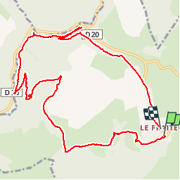

7,9 km | 10,2 km-effort


Gebruiker


Gratisgps-wandelapplicatie
 SityTrail
IGN / Geografische instituten
SityTrail World
De wereld gaat voor u open
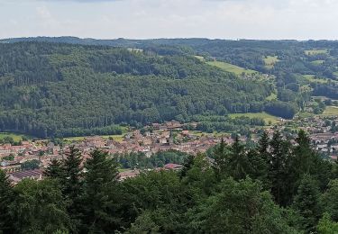
Tocht Stappen van 12 km beschikbaar op Grand Est, Vogezen, Plombières-les-Bains. Deze tocht wordt voorgesteld door jeanclaude12.
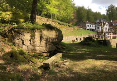
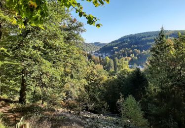
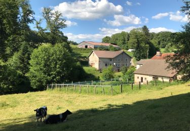
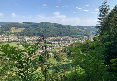
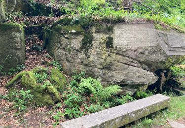
Marche vers la Chapelle de Consolation, le hameau de Clairefontaine, la Vallée de la Semouse, ses anciennes forges et fonderies.
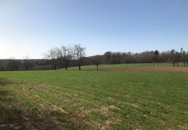
Stappen
Noords wandelen
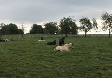
Paardrijden
Stappen
Paardrijden

Stappen
Stappen
Stappen
Stappen