


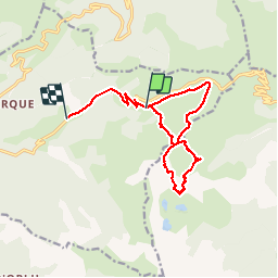


15,3 km | 23 km-effort


Gebruiker


Gratisgps-wandelapplicatie
 SityTrail
IGN / Geografische instituten
SityTrail World
De wereld gaat voor u open
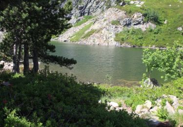
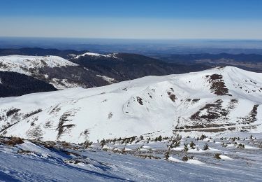
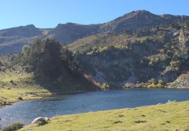
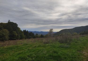
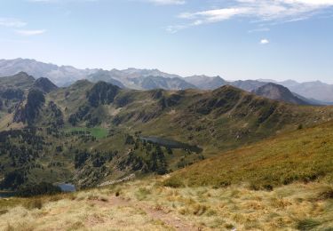
Tocht Wintersport van 13,8 km beschikbaar op Occitanië, Ariège, Ascou. Deze tocht wordt voorgesteld door mherpin.
Stappen
Sneeuwschoenen
Sneeuwschoenen
Stappen
Stappen
Stappen
Stappen
Stappen

Stappen