


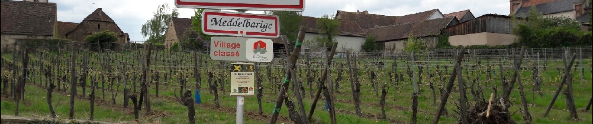
Entre vignobles et châteaux

VacheKiri67
Gebruiker


4h07
Moeilijkheid : Medium

Gratisgps-wandelapplicatie
 SityTrail
IGN / Geografische instituten
SityTrail Plus
De wereld gaat voor u open
Over ons
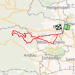
Tocht Stappen van 13,5 km beschikbaar op Grand Est, Bas-Rhin, Barr. Deze tocht wordt voorgesteld door VacheKiri67.
Beschrijving
Faite le 14/04/2017 avec notre fils Théo de 12 ans. D'après "Passion Vosges - Autour du Mont Sainte-Odile" N°17 : Entre vignobles et châteaux. Durée indiquée pour le circuit : 4h.
Foto's


33 fotos in totaal. Klik op een foto om ze allemaal in de galerij weer te geven.
Plaatsbepaling
Opmerkingen
Sur le sentier des Espiègles vous croiserez de drôles de lutins !