


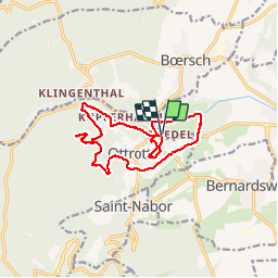
Randonnée autour d'Ottrott

VacheKiri67
Gebruiker


5h08
Moeilijkheid : Medium

Gratisgps-wandelapplicatie
 SityTrail
IGN / Geografische instituten
SityTrail Plus
De wereld gaat voor u open
Over ons
Tocht Stappen van 13,8 km beschikbaar op Grand Est, Bas-Rhin, Ottrott. Deze tocht wordt voorgesteld door VacheKiri67.
Beschrijving
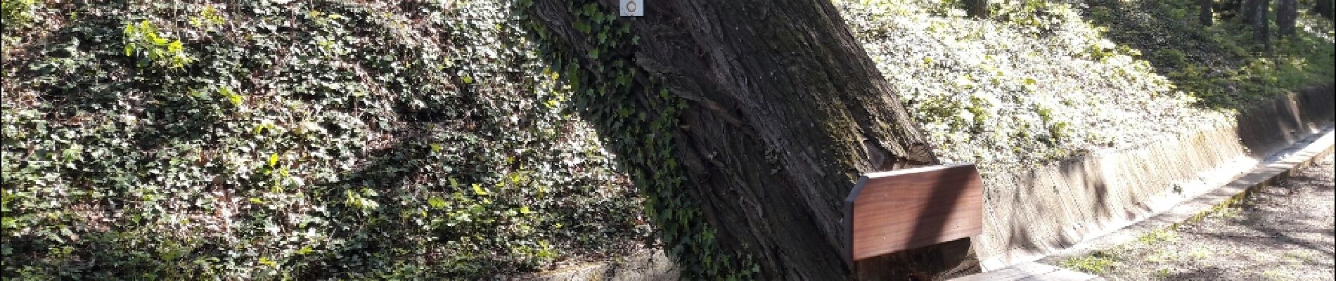
Faite le 23/04/2017 avec notre fils Théo de 12 ans et nos amis Patrice et Monique. D'après "Passion Vosges - Autour du Mont Sainte-Odile" N°14 : Randonnée autour d'Ottrott. Mais avec un aller-retour aux châteaux d'Ottrott (pas d'accès) et un petit tour à la chapelle Saint-Nicolas. Durée indiquée pour le circuit : 3h.
Foto's


Plaatsbepaling
Opmerkingen
Randonnée facile mais sans grande curiosité.