


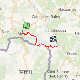
TDP N°2 AÏNHOA BIDARRAY

jeff2
Gebruiker

Lengte
23 km

Max. hoogte
723 m

Positief hoogteverschil
976 m
Km-Effort
36 km

Min. hoogte
108 m

Negatief hoogteverschil
954 m
Boucle
Neen
Datum van aanmaak :
2017-05-05 00:00:00.0
Laatste wijziging :
2017-05-05 00:00:00.0
7h35
Moeilijkheid : Onbekend

Gratisgps-wandelapplicatie
 SityTrail
IGN / Geografische instituten
SityTrail Plus
De wereld gaat voor u open
Over ons
Tocht Andere activiteiten van 23 km beschikbaar op Nieuw-Aquitanië, Pyrénées-Atlantiques, Ainhoa. Deze tocht wordt voorgesteld door jeff2.
Beschrijving
1ere étape de montagne avec descente un peu impressionnante
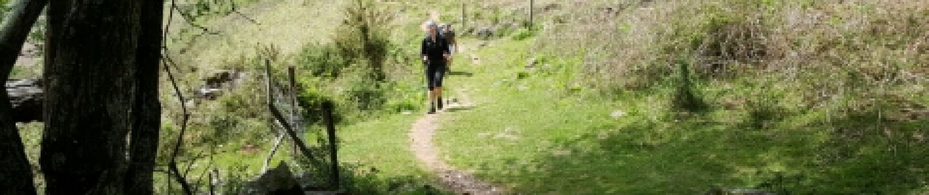
Foto's


Plaatsbepaling
Land:
France
Regio :
Nieuw-Aquitanië
Departement/Provincie :
Pyrénées-Atlantiques
Gemeente :
Ainhoa
Locatie:
Unknown
Vertrek:(Dec)
Vertrek:(UTM)
621505 ; 4796228 (30T) N.
Opmerkingen