


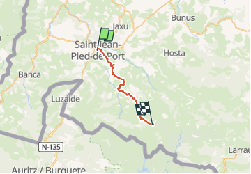
TDP N° ST JEAN PIED DE PORT COL de L'IRAU

jeff2
Gebruiker

Lengte
26 km

Max. hoogte
1026 m

Positief hoogteverschil
1535 m
Km-Effort
44 km

Min. hoogte
170 m

Negatief hoogteverschil
718 m
Boucle
Neen
Datum van aanmaak :
2017-05-09 00:00:00.0
Laatste wijziging :
2017-05-09 00:00:00.0
7h37
Moeilijkheid : Onbekend

Gratisgps-wandelapplicatie
 SityTrail
IGN / Geografische instituten
SityTrail Plus
De wereld gaat voor u open
Over ons
Tocht Andere activiteiten van 26 km beschikbaar op Nieuw-Aquitanië, Pyrénées-Atlantiques, Saint-Jean-Pied-de-Port. Deze tocht wordt voorgesteld door jeff2.
Beschrijving
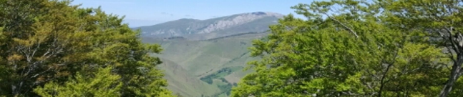
Pas mal de dénivelé aujourd'hui.
ce soir camping sauvage baignoire eau courante
Foto's


Plaatsbepaling
Land:
France
Regio :
Nieuw-Aquitanië
Departement/Provincie :
Pyrénées-Atlantiques
Gemeente :
Saint-Jean-Pied-de-Port
Locatie:
Unknown
Vertrek:(Dec)
Vertrek:(UTM)
643275 ; 4780269 (30T) N.
Opmerkingen