


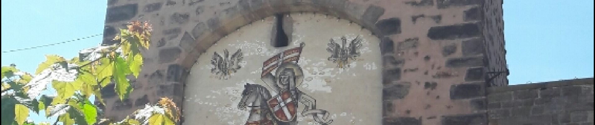
Les sanctuaires autour de Mutzig

VacheKiri67
Gebruiker


5h00
Moeilijkheid : Medium

Gratisgps-wandelapplicatie
 SityTrail
IGN / Geografische instituten
SityTrail Plus
De wereld gaat voor u open
Over ons
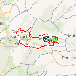
Tocht Stappen van 13,6 km beschikbaar op Grand Est, Bas-Rhin, Mutzig. Deze tocht wordt voorgesteld door VacheKiri67.
Beschrijving
Faite le 21/05/2017 avec notre fils Théo de 12 ans. D'après "Les sanctuaires autour de Mutzig - OT Molsheim".
Durée indiquée pour le circuit : 4h30.
Balisage Anneau jaune. Départ Gare de Mutzig.
Voir http://www.ot-molsheim-mutzig.com/detours-religieux/rando-sanctuaires-mutzig.pdf.
Foto's


28 fotos in totaal. Klik op een foto om ze allemaal in de galerij weer te geven.
Plaatsbepaling
Opmerkingen
Beau parcours avec de belles vues et notamment sur le sentier des roches au dessus de Mutzig.