


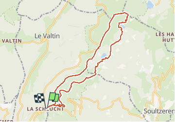
68 Autour du Fackenthal

LUTZMarc
Gebruiker

Lengte
18 km

Max. hoogte
1300 m

Positief hoogteverschil
735 m
Km-Effort
28 km

Min. hoogte
1049 m

Negatief hoogteverschil
746 m
Boucle
Ja
Datum van aanmaak :
2017-06-01 00:00:00.0
Laatste wijziging :
2017-06-01 00:00:00.0
4h38
Moeilijkheid : Medium

Gratisgps-wandelapplicatie
 SityTrail
IGN / Geografische instituten
SityTrail Plus
De wereld gaat voor u open
Over ons
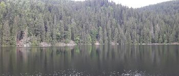
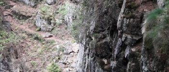
Tocht Stappen van 18 km beschikbaar op Grand Est, Haut-Rhin, Stosswihr. Deze tocht wordt voorgesteld door LUTZMarc.
Beschrijving
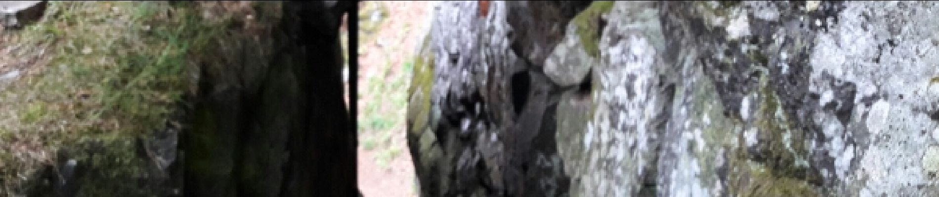
Sentier des crêtes retour par les échelles .
Respecter le sens proposé,le passage dangereux est moins risqué.Les rambardes de sécurité sont plus accessibles.
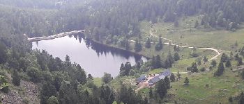
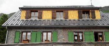
Foto's


Plaatsbepaling
Land:
France
Regio :
Grand Est
Departement/Provincie :
Haut-Rhin
Gemeente :
Stosswihr
Locatie:
Unknown
Vertrek:(Dec)
Vertrek:(UTM)
352801 ; 5325326 (32U) N.
Opmerkingen