


Fouzilhac- La Bastide Puylaurent Stevenson

kephas
Gebruiker
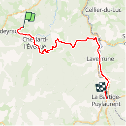

Lengte
24 km

Max. hoogte
1249 m

Positief hoogteverschil
491 m
Km-Effort
31 km

Min. hoogte
969 m

Negatief hoogteverschil
687 m
Boucle
Neen
Datum van aanmaak :
2017-06-11 00:00:00.0
Laatste wijziging :
2017-06-11 00:00:00.0
6h35
Moeilijkheid : Medium

Gratisgps-wandelapplicatie
 SityTrail
IGN / Geografische instituten
SityTrail Plus
De wereld gaat voor u open
Over ons
Tocht Stappen van 24 km beschikbaar op Occitanië, Lozère, Chaudeyrac. Deze tocht wordt voorgesteld door kephas.
Beschrijving
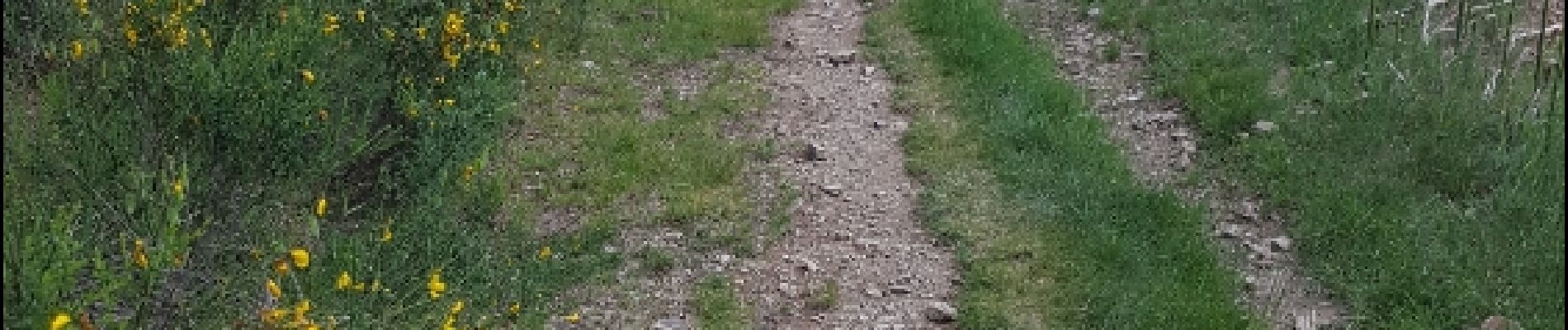
Gr 7 . Super
La dernière partie sur l'ancien GR est sympa et évite la route
Foto's


Plaatsbepaling
Land:
France
Regio :
Occitanië
Departement/Provincie :
Lozère
Gemeente :
Chaudeyrac
Locatie:
Unknown
Vertrek:(Dec)
Vertrek:(UTM)
562437 ; 4945763 (31T) N.
Opmerkingen