


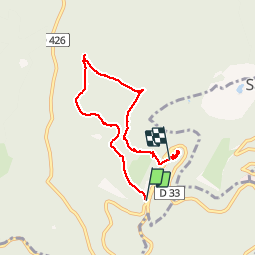
Le circuit nord du Mur Païen

VacheKiri67
Gebruiker


2h04
Moeilijkheid : Gemakkelijk

Gratisgps-wandelapplicatie
 SityTrail
IGN / Geografische instituten
SityTrail Plus
De wereld gaat voor u open
Over ons
Tocht Stappen van 5,9 km beschikbaar op Grand Est, Bas-Rhin, Ottrott. Deze tocht wordt voorgesteld door VacheKiri67.
Beschrijving
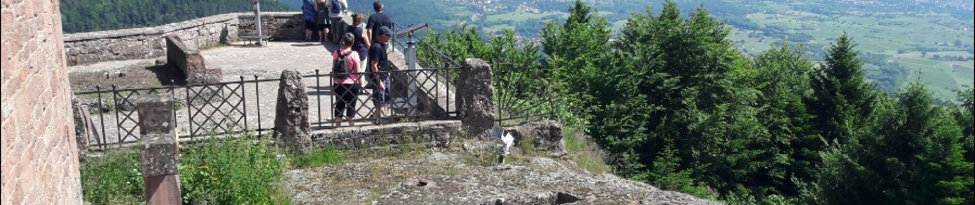
Faite le 11/06/2017 avec notre fils Théo de 12 ans. D'après "Passion Vosges - Autour du Mont Sainte-Odile" N°02 Le circuit nord du Mur Païen. Durée indiquée pour le circuit : 2 heures 30.
Balisage : chevalet jaune.
Le tracé n'est pas bouclé car ce circuit a été enchaîné avec "Le circuit sud du Mur Païen".
Foto's


25 fotos in totaal. Klik op een foto om ze allemaal in de galerij weer te geven.
Plaatsbepaling
Opmerkingen
Mur Paien et Sainte-Odile, un lieu mag(n)i(fi)que !