


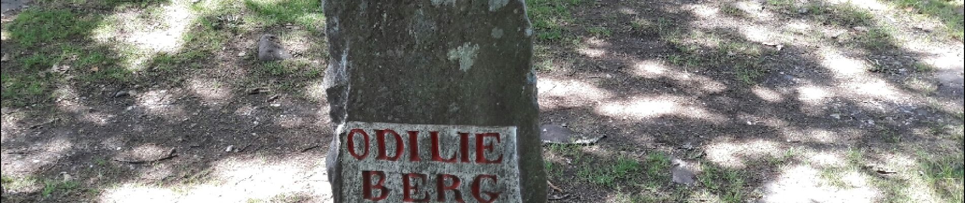
Le circuit sud du Mur Païen

VacheKiri67
Gebruiker


1h56
Moeilijkheid : Gemakkelijk

Gratisgps-wandelapplicatie
 SityTrail
IGN / Geografische instituten
SityTrail Plus
De wereld gaat voor u open
Over ons
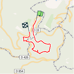
Tocht Stappen van 4,9 km beschikbaar op Grand Est, Bas-Rhin, Ottrott. Deze tocht wordt voorgesteld door VacheKiri67.
Beschrijving
Faite le 11/06/2017 avec notre fils Théo de 12 ans. D'après "Passion Vosges - Autour du Mont Sainte-Odile" N°02 Le circuit nord du Mur Païen. Durée indiquée pour le circuit : 2 heures 30.
Balisage : chevalet jaune.
Ce circuit a été précédé avec "Le circuit nord du Mur Païen".
Foto's


Plaatsbepaling
Opmerkingen
Balade sympathique sans aucune difficulté
A enchaîner avec le circuit nord du mur païen. Haut lieux d'énergie.