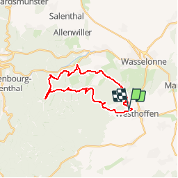
Tocht Stappen Westhoffen -  67 WESTHOFFEN - Photo
 LUTZMarc
LUTZMarc

Gebruiker

© OpenStreetMap contributors
Lengte
Lengte
22 km
Max. hoogte
Max. hoogte
503 m
Positief hoogteverschil
727 m
Km-Effort
Km-Effort  
32 km
Min. hoogte
Min. hoogte
218 m
Negatief hoogteverschil
727 m
Boucle
Boucle
Ja
Datum van aanmaak :
2017-06-15 00:00:00.0
Laatste wijziging :
2017-06-15 00:00:00.0

(0 Bericht)

Stappen
Stappen
6h35
Moeilijkheid : Medium

Scan deze QR-code om de tocht te openen in de SityTrail-applicatie

Gratisgps-wandelapplicatie

Logo SityTrail SityTrail

IGN / Geografische instituten

SityTrail uit de App Store downloaden SityTrail uit Google Play downloaden

Logo SityTrail SityTrail Plus

De wereld gaat voor u open

SityTrail uit de App Store downloaden SityTrail uit Google Play downloaden SityTrail op Huawei AppGallery downloaden

Over ons

Tocht Stappen van 22 km beschikbaar op Grand Est, Bas-Rhin, Westhoffen. Deze tocht wordt voorgesteld door LUTZMarc.

Beschrijving

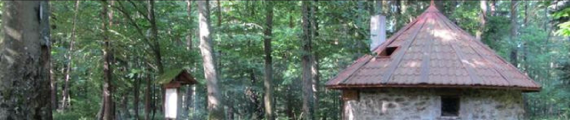
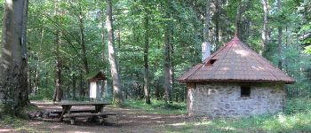
Abri aménagé  au Km 11 les trois forestiers.
Parcours le plus souvent en sous bois.
préferer la boucle proposée, si vous faite la pose à la cabane des 3 forestiers, la reprise sera moins pénible .

Hoogteprofiel

Foto's

POI's

POI Romanswiller - cabane des trois forestiers - Photo
LUTZMarc

Plaatsbepaling

Land:
France
Regio :
Grand Est
Departement/Provincie :
Bas-Rhin
Gemeente :
Westhoffen
Locatie:
Unknown
Vertrek:(Dec)
Vertrek:(UTM)
384447 ; 5384722 (32U) N.


Sluiten
Mijn abonnementen