


Pic Iparla par Espagne

DECHAMPD
Gebruiker
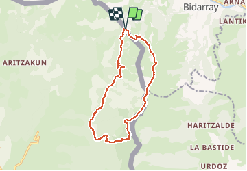

Lengte
15,9 km

Max. hoogte
1041 m

Positief hoogteverschil
941 m
Km-Effort
28 km

Min. hoogte
192 m

Negatief hoogteverschil
941 m
Boucle
Ja
Datum van aanmaak :
2019-01-14 17:30:28.29
Laatste wijziging :
2019-01-14 17:30:28.366
5h53
Moeilijkheid : Moeilijk

Gratisgps-wandelapplicatie
 SityTrail
IGN / Geografische instituten
SityTrail Plus
De wereld gaat voor u open
Over ons
Tocht Stappen van 15,9 km beschikbaar op Nieuw-Aquitanië, Pyrénées-Atlantiques, Bidarray. Deze tocht wordt voorgesteld door DECHAMPD.
Beschrijving
depuis Basasagarra, vallée Urrizate et crêtes
juillet 2017
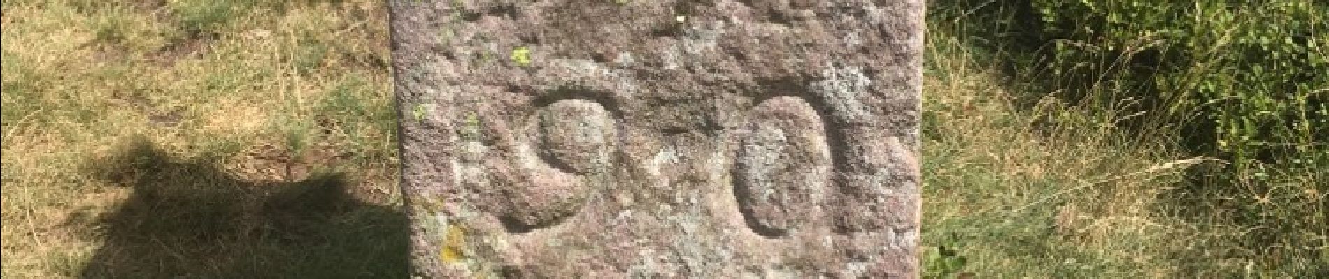
Foto's


Plaatsbepaling
Land:
France
Regio :
Nieuw-Aquitanië
Departement/Provincie :
Pyrénées-Atlantiques
Gemeente :
Bidarray
Locatie:
Unknown
Vertrek:(Dec)
Vertrek:(UTM)
630870 ; 4790656 (30T) N.
Opmerkingen