


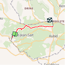
Val Dieu Aubel

Lychee
Gebruiker

Lengte
5,5 km

Max. hoogte
255 m

Positief hoogteverschil
137 m
Km-Effort
7,2 km

Min. hoogte
160 m

Negatief hoogteverschil
70 m
Boucle
Neen
Datum van aanmaak :
2019-03-14 09:53:06.598
Laatste wijziging :
2019-03-14 09:53:06.642
1h22
Moeilijkheid : Heel gemakkelijk

Gratisgps-wandelapplicatie
 SityTrail
IGN / Geografische instituten
SityTrail Plus
De wereld gaat voor u open
Over ons
Tocht Stappen van 5,5 km beschikbaar op Wallonië, Luik, Aubel. Deze tocht wordt voorgesteld door Lychee.
Beschrijving
reco sur le gr563 tour du pays de Herve
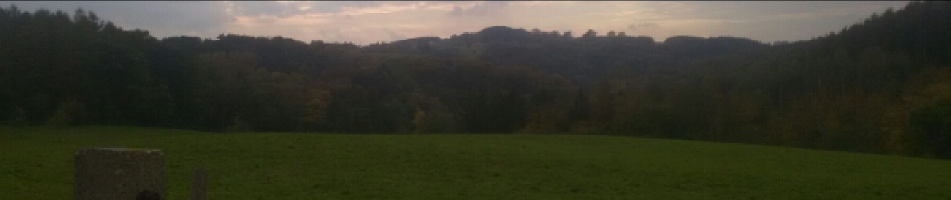
Foto's


Plaatsbepaling
Land:
Belgium
Regio :
Wallonië
Departement/Provincie :
Luik
Gemeente :
Aubel
Locatie:
Aubel
Vertrek:(Dec)
Vertrek:(UTM)
697837 ; 5620310 (31U) N.
Opmerkingen