


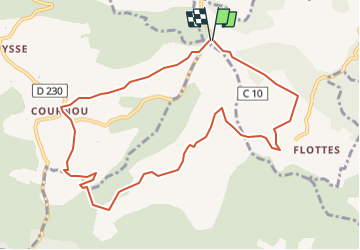

62 km | 81 km-effort


Gebruiker


Gratisgps-wandelapplicatie
 SityTrail
IGN / Geografische instituten
SityTrail World
De wereld gaat voor u open
Tocht Stappen van 10,5 km beschikbaar op Occitanië, Lot, Pradines. Deze tocht wordt voorgesteld door Ponche.
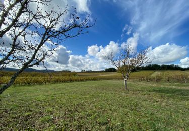
Boucle entre Flottes et Cournou identique à Flotte Cournou 1 RT, légèrement plus courte au niveau de Cornou.

Mountainbike

Stappen

Stappen

Noords wandelen

Mountainbike
Stappen
Mountainbike
Stappen
Stappen