


hourpes abbaye d'Aulnes

schef
Gebruiker
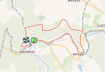

Lengte
8,4 km

Max. hoogte
204 m

Positief hoogteverschil
155 m
Km-Effort
10,5 km

Min. hoogte
106 m

Negatief hoogteverschil
161 m
Boucle
Ja
Datum van aanmaak :
2018-04-17 11:09:02.528
Laatste wijziging :
2018-04-17 11:09:02.528
1h40
Moeilijkheid : Medium

Gratisgps-wandelapplicatie
 SityTrail
IGN / Geografische instituten
SityTrail Plus
De wereld gaat voor u open
Over ons
Tocht Noords wandelen van 8,4 km beschikbaar op Wallonië, Henegouwen, Fontaine-l'Évêque. Deze tocht wordt voorgesteld door schef.
Plaatsbepaling
Land:
Belgium
Regio :
Wallonië
Departement/Provincie :
Henegouwen
Gemeente :
Fontaine-l'Évêque
Locatie:
Leernes
Vertrek:(Dec)
Vertrek:(UTM)
592754 ; 5580537 (31U) N.
Opmerkingen