


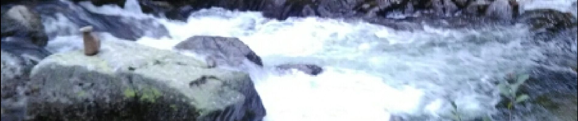
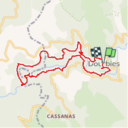
dourbies, dourbies par le saut de la chèvre

christo12
Gebruiker

Lengte
10,2 km

Max. hoogte
893 m

Positief hoogteverschil
353 m
Km-Effort
14,9 km

Min. hoogte
674 m

Negatief hoogteverschil
352 m
Boucle
Ja
Datum van aanmaak :
2018-04-17 12:23:33.185
Laatste wijziging :
2018-04-17 12:23:33.185
4h09
Moeilijkheid : Onbekend

Gratisgps-wandelapplicatie
 SityTrail
IGN / Geografische instituten
SityTrail Plus
De wereld gaat voor u open
Over ons
Tocht Andere activiteiten van 10,2 km beschikbaar op Occitanië, Gard, Dourbies. Deze tocht wordt voorgesteld door christo12.
Foto's


Plaatsbepaling
Land:
France
Regio :
Occitanië
Departement/Provincie :
Gard
Gemeente :
Dourbies
Locatie:
Unknown
Vertrek:(Dec)
Vertrek:(UTM)
535652 ; 4879123 (31T) N.
Opmerkingen