


Compostelle 47 - Isar -> Castrojeriz

uru2010
Gebruiker
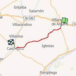

Lengte
24 km

Max. hoogte
934 m

Positief hoogteverschil
260 m
Km-Effort
28 km

Min. hoogte
783 m

Negatief hoogteverschil
292 m
Boucle
Neen
Datum van aanmaak :
2018-04-17 12:29:10.519
Laatste wijziging :
2018-04-17 12:29:10.519
5h29
Moeilijkheid : Gemakkelijk

Gratisgps-wandelapplicatie
 SityTrail
IGN / Geografische instituten
SityTrail Plus
De wereld gaat voor u open
Over ons
Tocht Stappen van 24 km beschikbaar op Castilië en León, Onbekend, Isar. Deze tocht wordt voorgesteld door uru2010.
Beschrijving
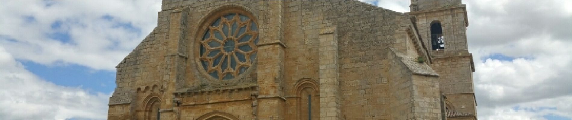
Chemin de Saint-Jacques de Compostelle
Isar -> Castrojeriz
Foto's


Plaatsbepaling
Land:
Spain
Regio :
Castilië en León
Departement/Provincie :
Onbekend
Gemeente :
Isar
Locatie:
Unknown
Vertrek:(Dec)
Vertrek:(UTM)
423351 ; 4690418 (30T) N.
Opmerkingen