


Grand Paradis - J4

saphile
Gebruiker

Lengte
14,1 km

Max. hoogte
3069 m

Positief hoogteverschil
1108 m
Km-Effort
29 km

Min. hoogte
2277 m

Negatief hoogteverschil
1027 m
Boucle
Neen
Datum van aanmaak :
2018-04-17 14:32:38.02
Laatste wijziging :
2018-04-17 14:32:38.02
5h52
Moeilijkheid : Zeer moeilijk

Gratisgps-wandelapplicatie
 SityTrail
IGN / Geografische instituten
SityTrail Plus
De wereld gaat voor u open
Over ons
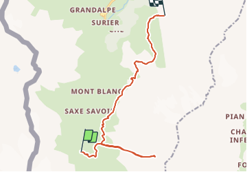
Tocht Stappen van 14,1 km beschikbaar op Valle d'Aosta, Onbekend, Valgrisenche. Deze tocht wordt voorgesteld door saphile.
Beschrijving
Grand Paradis 2018 - J4

Plaatsbepaling
Land:
Italy
Regio :
Valle d'Aosta
Departement/Provincie :
Onbekend
Gemeente :
Valgrisenche
Locatie:
Unknown
Vertrek:(Dec)
Vertrek:(UTM)
345260 ; 5044949 (32T) N.
Opmerkingen