


Gistoux 19 12 2017 Nathalie Demain

ThierryGABRIEL
Gebruiker


Lengte
14,6 km

Max. hoogte
138 m

Positief hoogteverschil
191 m
Km-Effort
17,1 km

Min. hoogte
77 m

Negatief hoogteverschil
191 m
Boucle
Ja
Datum van aanmaak :
2018-04-17 14:51:18.073
Laatste wijziging :
2018-04-17 14:51:18.073
5h28
Moeilijkheid : Gemakkelijk

Gratisgps-wandelapplicatie
 SityTrail
IGN / Geografische instituten
SityTrail Plus
De wereld gaat voor u open
Over ons
Tocht Stappen van 14,6 km beschikbaar op Wallonië, Waals-Brabant, Chaumont-Gistoux. Deze tocht wordt voorgesteld door ThierryGABRIEL.
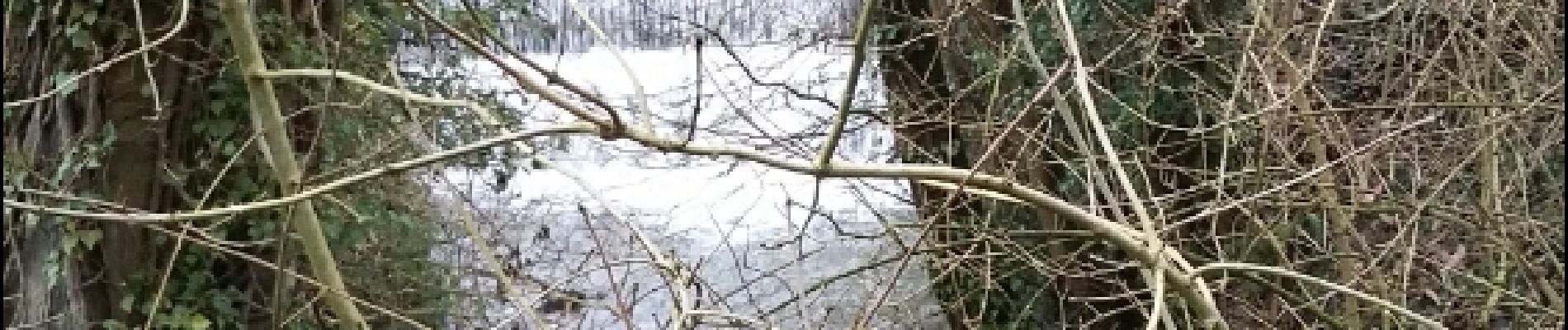
Foto's


Plaatsbepaling
Land:
Belgium
Regio :
Wallonië
Departement/Provincie :
Waals-Brabant
Gemeente :
Chaumont-Gistoux
Locatie:
Chaumont-Gistoux
Vertrek:(Dec)
Vertrek:(UTM)
619683 ; 5616169 (31U) N.
Opmerkingen
Très agréable à refaire à la bonne saison mixité champ forêt ruisseau ferme château