


sortie vtt du 07012018

fabwin
Gebruiker GUIDE
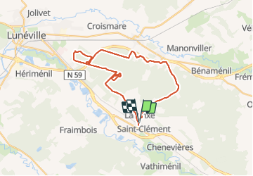

Lengte
28 km

Max. hoogte
300 m

Positief hoogteverschil
206 m
Km-Effort
30 km

Min. hoogte
235 m

Negatief hoogteverschil
205 m
Boucle
Ja
Datum van aanmaak :
2018-04-17 15:41:56.803
Laatste wijziging :
2018-04-17 15:41:56.803
2h01
Moeilijkheid : Gemakkelijk

Gratisgps-wandelapplicatie
 SityTrail
IGN / Geografische instituten
SityTrail Plus
De wereld gaat voor u open
Over ons
Tocht Mountainbike van 28 km beschikbaar op Grand Est, Meurthe-et-Moselle, Saint-Clément. Deze tocht wordt voorgesteld door fabwin.
Beschrijving
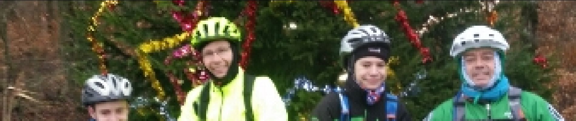
Reprise Mondon.
Avec Séb, david, Luca et Ange
Il va falloir s'y remettre sérieusement!!!!!!!
Foto's


Plaatsbepaling
Land:
France
Regio :
Grand Est
Departement/Provincie :
Meurthe-et-Moselle
Gemeente :
Saint-Clément
Locatie:
Unknown
Vertrek:(Dec)
Vertrek:(UTM)
323022 ; 5378537 (32U) N.
Opmerkingen