


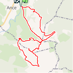


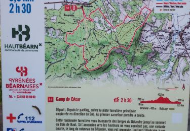
11,1 km | 16 km-effort


convivialite, sport et fiesta


Gratisgps-wandelapplicatie
 SityTrail
IGN / Geografische instituten
SityTrail World
De wereld gaat voor u open
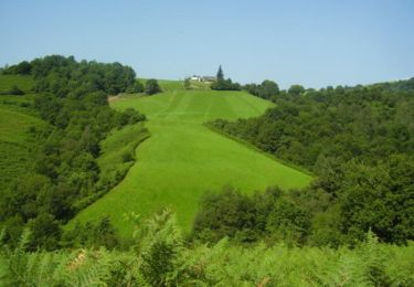
Tocht Stappen van 11,9 km beschikbaar op Nieuw-Aquitanië, Pyrénées-Atlantiques, Ance-Féas. Deze tocht wordt voorgesteld door Lous Passa camins.
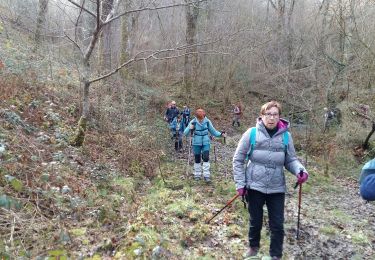
Belle balade mais le sentier au départ est un peu à l'abandon dommage
coordonées départ
N43° 08' 43.9"
W000° 41' 11.1"
Stappen
Stappen
Stappen
Stappen
Stappen
Stappen

Stappen
Stappen
Stappen