


sortie vtt du 18022018

fabwin
Gebruiker GUIDE
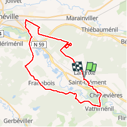

Lengte
34 km

Max. hoogte
286 m

Positief hoogteverschil
256 m
Km-Effort
37 km

Min. hoogte
222 m

Negatief hoogteverschil
255 m
Boucle
Ja
Datum van aanmaak :
2018-04-17 19:17:00.802
Laatste wijziging :
2018-04-17 19:17:00.802
2h29
Moeilijkheid : Gemakkelijk

Gratisgps-wandelapplicatie
 SityTrail
IGN / Geografische instituten
SityTrail Plus
De wereld gaat voor u open
Over ons
Tocht Mountainbike van 34 km beschikbaar op Grand Est, Meurthe-et-Moselle, Saint-Clément. Deze tocht wordt voorgesteld door fabwin.
Beschrijving
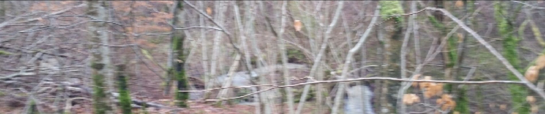
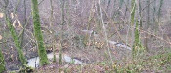
Avec David. Une belle sortie ou on a eu le plaisir de voir traverser juste devant nous une horde de sanglier, ainsi qu'une envolée de cygne.
Foto's


Plaatsbepaling
Land:
France
Regio :
Grand Est
Departement/Provincie :
Meurthe-et-Moselle
Gemeente :
Saint-Clément
Locatie:
Unknown
Vertrek:(Dec)
Vertrek:(UTM)
323027 ; 5378539 (32U) N.
Opmerkingen