


Marsais 8,7

olaze
Gebruiker
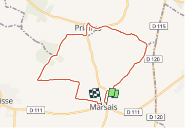

Lengte
8,7 km

Max. hoogte
56 m

Positief hoogteverschil
72 m
Km-Effort
9,7 km

Min. hoogte
27 m

Negatief hoogteverschil
74 m
Boucle
Ja
Datum van aanmaak :
2018-04-17 21:41:52.723
Laatste wijziging :
2018-04-17 21:41:52.723
2h00
Moeilijkheid : Gemakkelijk

Gratisgps-wandelapplicatie
 SityTrail
IGN / Geografische instituten
SityTrail Plus
De wereld gaat voor u open
Over ons
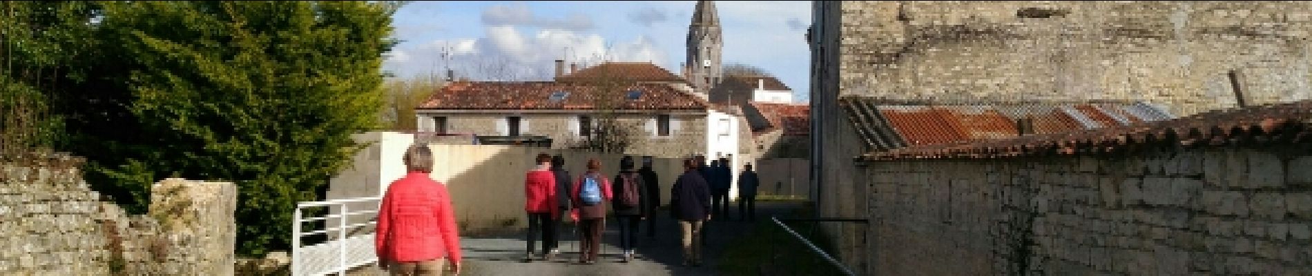
Tocht Stappen van 8,7 km beschikbaar op Nieuw-Aquitanië, Charente-Maritime, Marsais. Deze tocht wordt voorgesteld door olaze.
Foto's

Plaatsbepaling
Land:
France
Regio :
Nieuw-Aquitanië
Departement/Provincie :
Charente-Maritime
Gemeente :
Marsais
Locatie:
Unknown
Vertrek:(Dec)
Vertrek:(UTM)
685454 ; 5110765 (30T) N.
Opmerkingen