


2018-04-08 Picnic CVA 3 Chateaux

holtzv
Gebruiker GUIDE
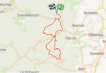

Lengte
30 km

Max. hoogte
760 m

Positief hoogteverschil
1010 m
Km-Effort
44 km

Min. hoogte
288 m

Negatief hoogteverschil
1010 m
Boucle
Ja
Datum van aanmaak :
2018-04-17 23:53:42.528
Laatste wijziging :
2018-04-17 23:53:42.528
5h16
Moeilijkheid : Onbekend

Gratisgps-wandelapplicatie
 SityTrail
IGN / Geografische instituten
SityTrail Plus
De wereld gaat voor u open
Over ons
Tocht Paard van 30 km beschikbaar op Grand Est, Bas-Rhin, Rosheim. Deze tocht wordt voorgesteld door holtzv.
Plaatsbepaling
Land:
France
Regio :
Grand Est
Departement/Provincie :
Bas-Rhin
Gemeente :
Rosheim
Locatie:
Unknown
Vertrek:(Dec)
Vertrek:(UTM)
381084 ; 5372606 (32U) N.
Opmerkingen