la reid . becco . hestroumont . rohaimont . winamplanche . thier d aihe . croix papet . la reid

stef789
Gebruiker GUIDE
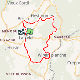

Lengte
13,4 km

Max. hoogte
379 m

Positief hoogteverschil
388 m
Km-Effort
18,5 km

Min. hoogte
233 m

Negatief hoogteverschil
388 m
Boucle
Ja
Datum van aanmaak :
2018-06-26 14:22:02.357
Laatste wijziging :
2018-06-26 14:22:02.357
3h20
Moeilijkheid : Gemakkelijk

Gratisgps-wandelapplicatie
 SityTrail
IGN / Geografische instituten
SityTrail Plus
De wereld gaat voor u open
Over ons
Tocht Stappen van 13,4 km beschikbaar op Wallonië, Luik, Theux. Deze tocht wordt voorgesteld door stef789.
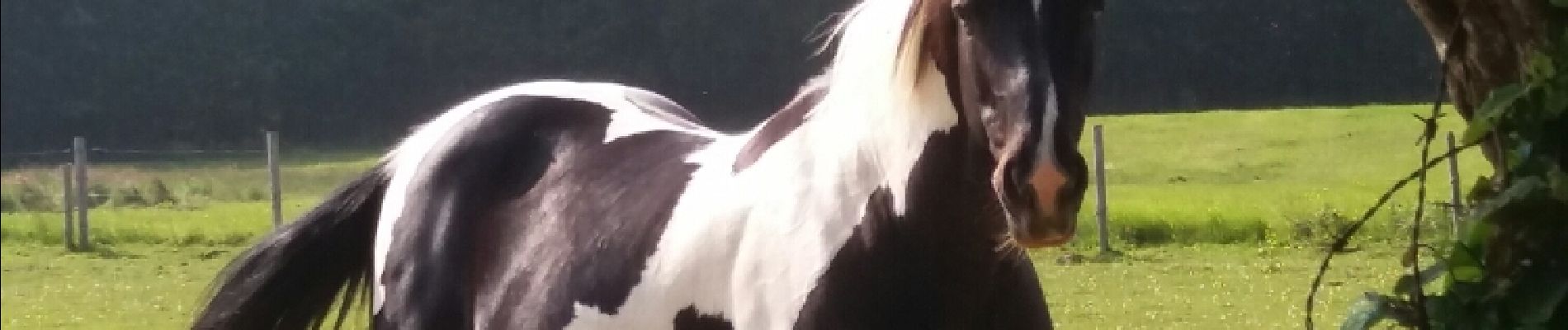
Foto's


Plaatsbepaling
Land:
Belgium
Regio :
Wallonië
Departement/Provincie :
Luik
Gemeente :
Theux
Locatie:
La Reid
Vertrek:(Dec)
Vertrek:(UTM)
697969 ; 5596682 (31U) N.
Opmerkingen