


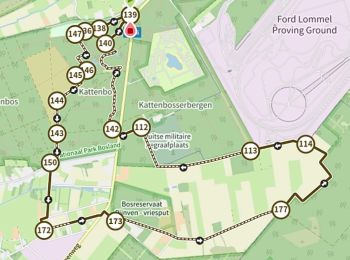
11.4 km | 12.2 km-effort
Lommel: Discover the best trails: 57 hiking trails, 8 bike and mountain-bike routes and 1 equestrian circuits. All these trails, routes and outdoor activities are available in our SityTrail applications for smartphones and tablets.
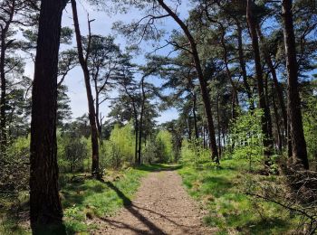
On foot


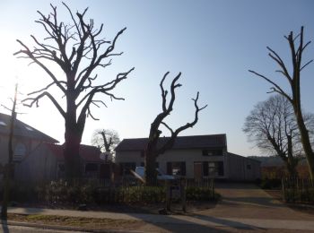
• Bosland is overdadig genieten van verrassende natuur, elke dag weer een beetje anders. Voor kinderen is Bosland één g...
On foot
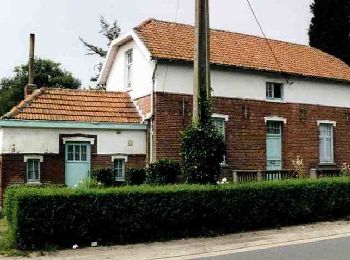
• Bosland is overdadig genieten van verrassende natuur, elke dag weer een beetje anders. Voor kinderen is Bosland één g...
On foot
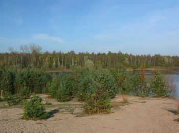
• Bosland is overdadig genieten van verrassende natuur, elke dag weer een beetje anders. Voor kinderen is Bosland één g...
On foot
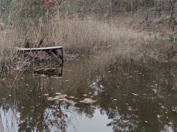
• Trail created by Bosland. Website: https://www.natuurpunt.be/natuurgebied/buitengoor-de-maat-den-diel
On foot
• Symbol: rectangle
On foot
• Symbol: disk
On foot
• Trail created by Regionaal Landschap Lage Kempen. Symbol: dot
On foot
• Symbol: triangle
On foot
• Trail created by Bosland. Symbol: disk
On foot
• Trail created by Bosland. Symbol: triangle
On foot
• Symbol: disk
Walking
Walking

Walking
Walking
On foot
• Symbol: dragonfly
On foot
• Symbol: triangle
Walking
Walking
Walking
20 trails displayed on 67
FREE GPS app for hiking
 SityTrail
IGN / Geographical institutes
SityTrail World
The world is yours!