


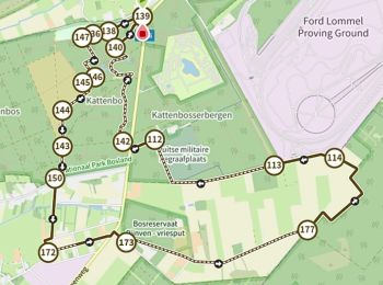
11,4 km | 12,2 km-effort
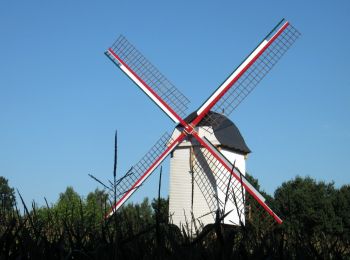
Lommel: Ontdek de beste tochten: 57 te voet, 8 met de fiets of mountainbike en 1 te paard. Al deze tochten, trajecten, routes en outdoor activiteiten zijn beschikbaar in onze SityTrail-apps voor smartphones en tablets.
Te voet


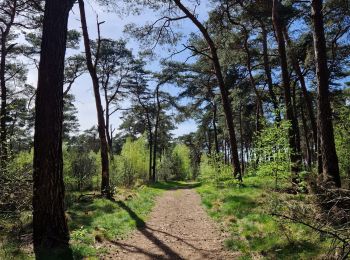
• Bosland is overdadig genieten van verrassende natuur, elke dag weer een beetje anders. Voor kinderen is Bosland één g...
Te voet
• Bosland is overdadig genieten van verrassende natuur, elke dag weer een beetje anders. Voor kinderen is Bosland één g...
Te voet
• Bosland is overdadig genieten van verrassende natuur, elke dag weer een beetje anders. Voor kinderen is Bosland één g...
Te voet
• Trail created by Bosland. Website: https://www.natuurpunt.be/natuurgebied/buitengoor-de-maat-den-diel
Te voet
• Symbol: rectangle
Te voet
• Symbol: disk
Te voet
• Trail created by Regionaal Landschap Lage Kempen. Symbol: dot
Te voet
• Symbol: triangle
Te voet
• Trail created by Bosland. Symbol: disk
Te voet
• Trail created by Bosland. Symbol: triangle
Te voet
• Symbol: disk
Stappen
Stappen

Stappen
Stappen
Te voet
• Symbol: dragonfly
Te voet
• Symbol: triangle
Stappen
Stappen
Stappen
20 tochten weergegeven op 67
Gratisgps-wandelapplicatie
 SityTrail
IGN / Geografische instituten
SityTrail World
De wereld gaat voor u open