


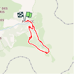


6.3 km | 9.9 km-effort


User


FREE GPS app for hiking
 SityTrail
IGN / Geographical institutes
SityTrail World
The world is yours!
Trail Walking of 11.7 km to be discovered at Provence-Alpes-Côte d'Azur, Hautes-Alpes, Orcières. This trail is proposed by alpha-pyxidis.
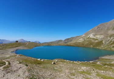
Avec les enfants, nous partons pour cette belle rando à la journée au fond du vallon aux marmotes à Prapic.Détails et photos : http://www.alpha-pyxidis.com/alpes-du-sud/cascade-du-saut-de-laire
Walking
Walking
Walking
Walking
Walking
Walking

Walking
Walking
Walking
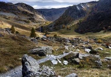
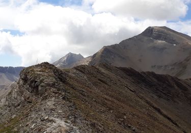
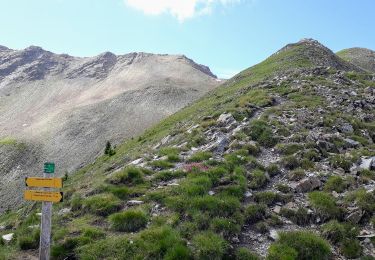
Un très beau parcours. Je conseille de le faire dans le sens Basset - Laire si vous partez le matin et en sens inverse si vous partez tard. La montée au Basset est assez pentue ( comptez une bonne heure de montée).
L'aller est montant mais quel bonheur de se trouver en haut avec un si beau panorama et un berger si aimable qui a partager sa passion avec nous.