


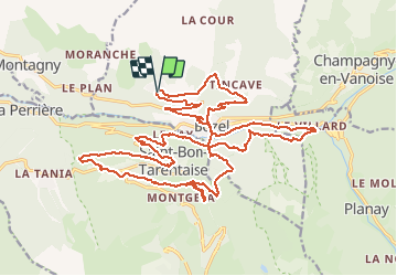

9.4 km | 13.8 km-effort


User


FREE GPS app for hiking
 SityTrail
IGN / Geographical institutes
SityTrail World
The world is yours!
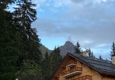
Trail Electric bike of 30 km to be discovered at Auvergne-Rhône-Alpes, Savoy, Bozel. This trail is proposed by franquen.
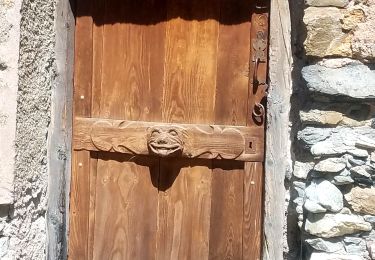
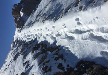
Belle découverte de chemins inédits et de hameaux peu connus autour de Bozel.
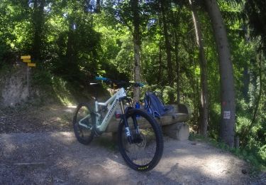
Mountain bike

Walking
Walking
Walking
Walking
Walking
Walking
Walking
Walking