


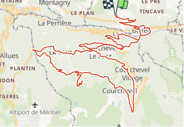

9.4 km | 13.8 km-effort


User


FREE GPS app for hiking
 SityTrail
IGN / Geographical institutes
SityTrail World
The world is yours!
Trail Electric bike of 41 km to be discovered at Auvergne-Rhône-Alpes, Savoy, Bozel. This trail is proposed by franquen.
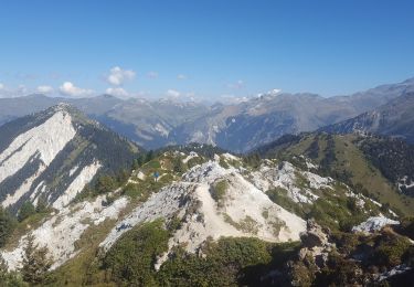
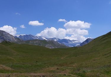
Jolie rando par des petits chemins offrant de très beaux paysages bucoliques avec vue panoramique,
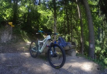
Mountain bike

Walking
Walking
Walking
Walking
Walking
Walking
Walking
Walking