


6,1 km | 8,9 km-effort
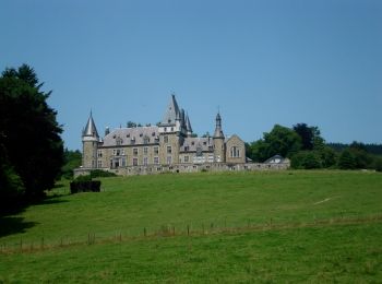
Stoumont : Entdecken Sie die besten Touren : 546 zu Fuß, 45 mit dem Fahrrad oder Mountainbike und 37 auf dem Pferderücken. Alle diese Touren, Trails, Routen und Outdoor-Aktivitäten sind in unseren SityTrail-Apps für Smartphones und Tablets verfügbar.
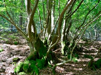
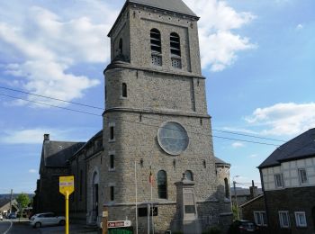
Wandern


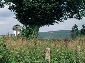
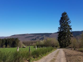
Wandern
• De point de vue en point de vue autour de Lorcé Lorcé – Chession – Lorcé Cartographie et documentation : Carte IGN ...
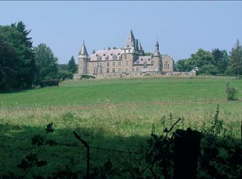
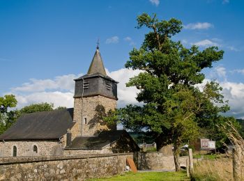
Wandern
• Stoumont – Monceau – Derrière-le-Tige – Rahier – Meuville – Xhierfomont – Targnon – Stoumont Cartographie ...
Wandern
Wandern
Wandern

Wandern
Wandern
• Lorcé – Chession – pont de Targnon – Xhierfomont – Meuville – Bierleux – Chevron – Bru – Lorcé Cartographie et doc...
Wandern
Wandern
Wandern
Wandern
Wandern

Wandern
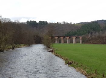
• Promenade sur les bords de L'Ambleve,avec dénivelle!
Wandern
Wandern
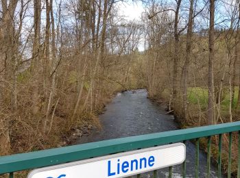
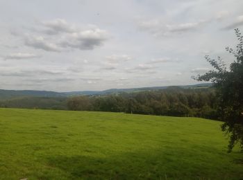
• Belle promenade à travers bois, prairies, villages et hameaux le long de la Lienne.
Wandern
Wandern
Zu Fuß
• Trail created by Office du Tourisme de Stoumont.
Zu Fuß
• Trail created by RSI La Gleize. Symbol: rectangle
20 Angezeigte Touren bei 674
Kostenlosegpshiking-Anwendung
 SityTrail
IGN / Geografische Institute
SityTrail World
Die Welt öffnet sich für Sie